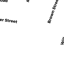
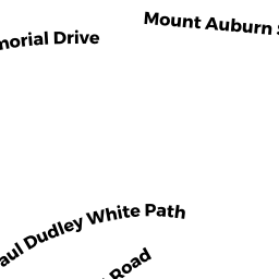
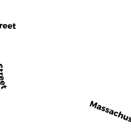
163 MT AUBURN ST
Owner Information
LABADIE, MICHAEL R. &
163 MT AUBURN ST
CAMBRIDGE, MA 02138


Property Details
163 MT AUBURN ST is classified as a Two-Family Residential (Old style two fam).
The primary structure on this property was built in 1930. There are 5096ft2 of built area within this property. There is 2847ft2 of residential/living space within this property. This property is listed as having 11 rooms. There are 2 units within this property.
163 MT AUBURN ST is valued at 2104400. The land is valued at 1359600 and the structures are valued at 744800.
This property is in Zone B. Confirm with local Zoning Board authorities to ensure there are no overlays or other easements on this property.
The most recent deed for 163 MT AUBURN ST is recorded at the local registrar in Book 45865, Page 0117. 163 MT AUBURN ST was last sold on 2005-08-15 for 1400000.
Assessment data from fiscal year 2021.
Flood Data
According to the FEMA National Flood Hazard Layer, this property does not appear to be in a flood zone. It may also be in an area not yet reviewed. Nonetheless, confirm this information prior to taking any action.
To view the flood hazards around this property, create a FEMA "Firmette" Map of the area around 163 MT AUBURN ST.
Broadband Internet Providers
| Provider | Type | Bandwidth (mbps) | |
|---|---|---|---|
| HughesNet | Satellite | 25 | 3 |
| Viasat Inc | Satellite | 100 | 3 |
| Verizon New England Inc. | DSL | 10 | 1 |
| Comcast | Fiber | 2000 | 2000 |
| Starry, Inc. | Fixed Wireless | 200 | 200 |
| netBlazr Inc | Fixed Wireless | 50 | 50 |
| GCI Communication Corp. | Satellite | 0 | 0 |
| VSAT Systems, LLC. | Satellite | 2 | 1 |
Broadband service provider data from December 2020.
Adjacent Properties
- 165 MT AUBURN ST
CONDO-BLDG owned by MCINNES, DONALD K. & - 165 MT AUBURN ST
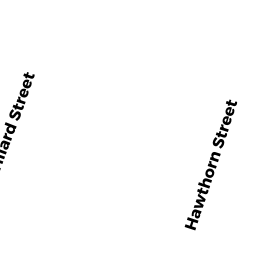
Residential Condominium owned by KARMON, DAVID E. & SARAH C. KARMON - 48 HAWTHORN ST
Residential Condominium owned by MCINNES, DONALD K. & - 159 MT AUBURN ST
Single Family Residential owned by ALLISON, BLAKE P. & KATHARINE L. ALLISON - 42 HAWTHORN ST
Single Family Residential owned by YILDIZ, JUSTINE B. &